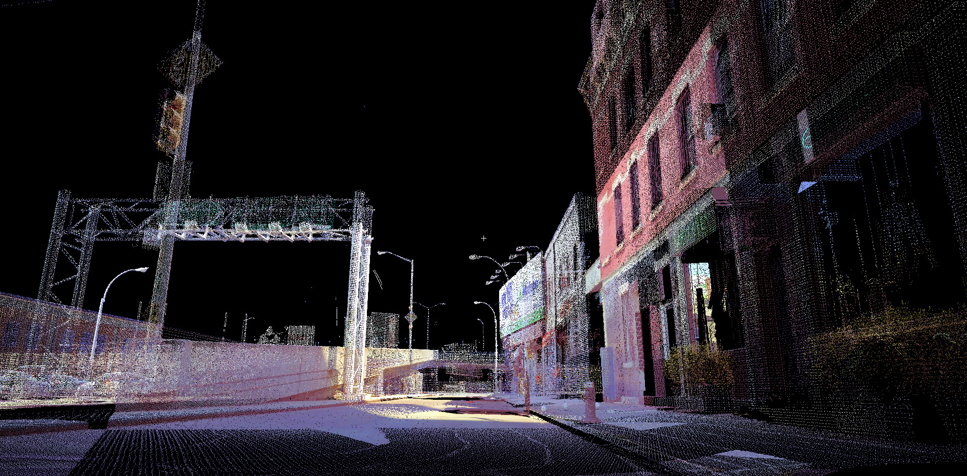
Many years ago, Rogers Surveying made the commitment to use the latest technologies available in the surveying industry. Early on, we were one of the first firms in the area to use electronic total stations, then RTK GPS, Ground-Based LIDAR and now we will be using LIDAR mounted on remotely operated drones.
Remote sensing, combined with our experience in conventional surveying and ground-based data acquisition, allows us to collect the greatest amount of data possible during initial survey tasks. This collected data will be used for project scope mapping and removes the need for subsequent mapping as the project progresses and the needs changes. Using mapping and registration software Leica© Cyclone and Trimble RealWorks, in conjunction with our conventional surveying and mapping software and equipment, we are capable of providing large scale mapping in a short period of time. Data reduction, point cloud and final products are provided in a variety of formats for use by designers, engineers and architects.
LIDAR Survey Services Include:
- B.I.M. Surveys
- Topographic Surveys
- Accident Surveys


