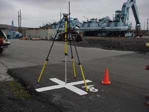
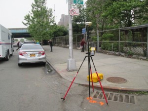
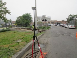
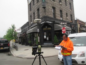
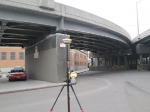
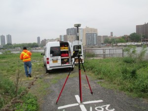
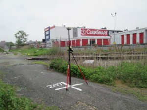
Rogers Surveying has been providing timely and quality aerial photogrammetric services since 1995. Our experience in aerial photogrammetric mapping ranges from flood studies to highways and entire communities. Clients include land and hydrographic surveyors, civil engineers, land planners, as well as local, state and federal agencies. Using state-of-the-art analytical stereo plotters interfaced to workstations; digital mapping files are collected and organized during the stereo compilation process. The entire compilation environment is 100 percent digital. The photogrammetric production environment is designed to render the highest accuracy supporting the project schedule and budgetary guidelines. In almost all cases the clients requirements are intentionally exceeded.
Aerial Surveying Services Include:
- Large and Small Scale Sites
- Ortho Rectified Imagery
- Photogrammetric Mapping Augmented with Conventional Survey
- Site Development
- G.I.S.
- Cross Sections and Profiles


